Drone and 360-Degree Imagery for Cemeteries
Building picture-perfect cemetery maps
"They say a picture is worth a thousand words and drone imaging is proof of it," says St. Francis Borgia Cemetery Coordinator Brian Willbrandt.
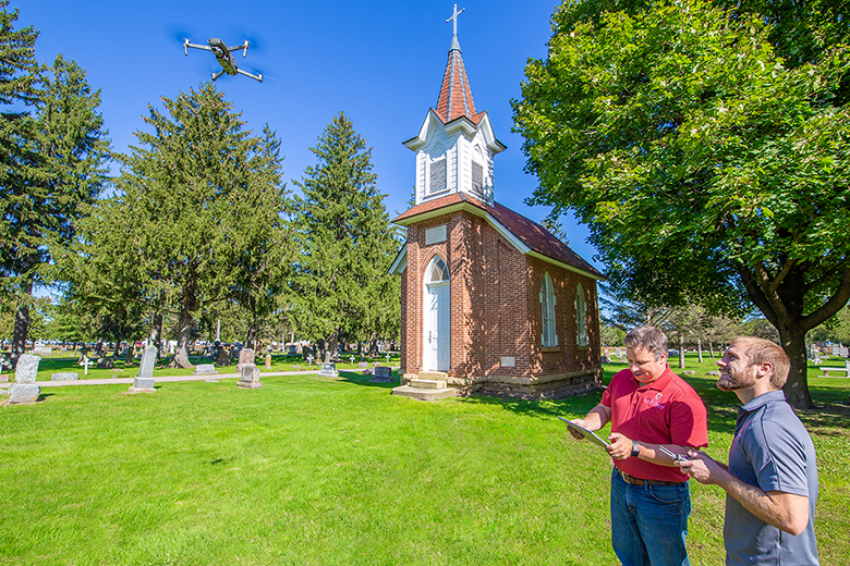
CIMS helps cemeteries capture the beauty of their grounds and build more accurate maps with drone and 360-degree imaging. Our drones take high-resolution, spatially accurate orthophotos that serve as the backdrop of your CIMS Platinum cemetery software digital map.
The CIMS team also can use 360-degree cameras to digitize every plot, lot, and section of your cemetery, allowing users to take online tours of your grounds. (Think Google Street View, but for cemeteries!)
Advantages of cemetery imaging services
- Create more accurate and interactive digital cemetery maps.
- Save time and money by offering virtual plot showings during inclement weather or unexpected schedule changes.
- Develop fresh marketing materials for your cemetery with professional drone photography and drone video.

